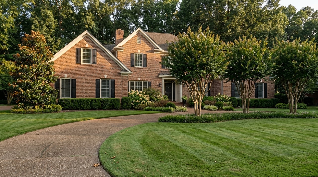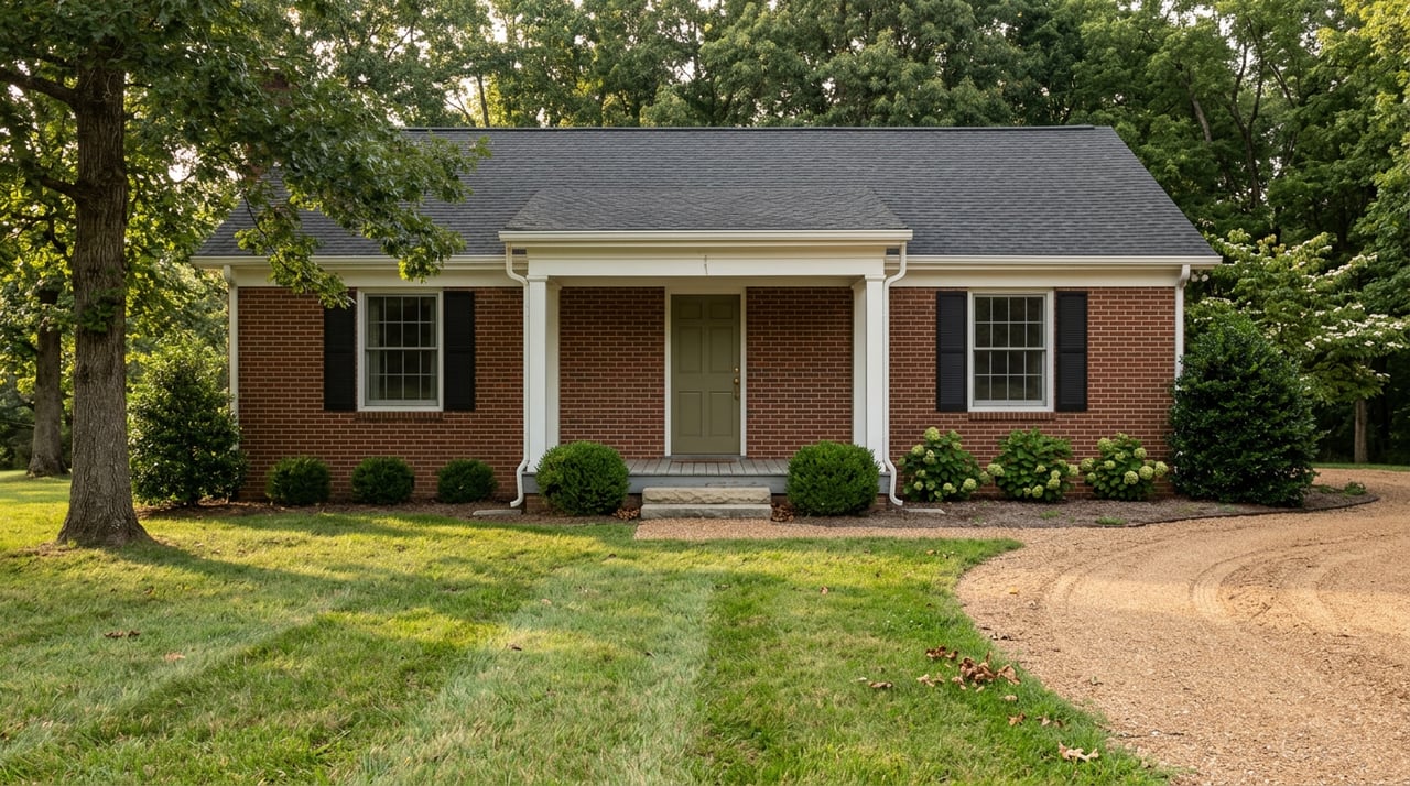
Pull up listings for Cecilia, Kentucky on any given week and you will see a renovated brick ranch near Central Hardin High School priced like every other subdivision home in Hardin County, sitting a few search results away from a wooded tract advertised by its road frontage and daily traffic count instead of its bedrooms. Both carry the same town name. Neither one tells you, on its own, which Cecilia you are actually shopping in.
That confusion is not a listing error. Land currently on the market in and around Cecilia averages roughly $43,000 an acre, more than double the approximately $18,000-an-acre baseline for land already served by a septic system across the rest of Kentucky in a late-2025 snapshot of statewide listings. Meanwhile the homes tucked into Cecilia's platted neighborhoods trade close to Hardin County's overall median, which sat near $290,000 in the three months ending May 2026. Same address, two different pricing logics, and nothing in the zip code warns you which one you have found.
Why the Address Doesn't Separate the Two
Cecilia is unincorporated. It shows up on maps and in listings as a place, but it has no city council or planning commission of its own drawing a line between its residential streets and the highway frontage a mile down the road. Every parcel, whether it sits on a cul-de-sac in an established subdivision or fronts a state route with development potential, falls under Hardin County's planning and zoning authority. One recent land listing near Cecilia even noted the acreage could be divided with approval from Hardin County Planning and Zoning, a small detail that says a lot: the county, not the town, is the one drawing boundaries here, and the county's map does not distinguish subdivision comps from corridor speculation the way an incorporated city's zoning code often does.
That is the root of the confusion. A buyer comparing two "Cecilia" listings side by side is often comparing a livability product against a development product, and the shared town name makes them look like the same market when they are not.
Two Products, One Mailing Address
| Subdivision Cecilia | Corridor Cecilia | |
|---|---|---|
| What's for sale | Move-in ready homes in platted neighborhoods such as Habersham and Lakewood | Raw acreage and highway-frontage parcels along KY 3005 and the Western Kentucky Parkway |
| How it's priced | Bedrooms, finished square footage, and comparable subdivision sales | Price per acre, road frontage, and daily traffic counts |
| Utilities | Hardin County Water District No. 2 service, sometimes with a private well kept as backup | A mix of county water access at the road, acreage that is not yet served, or well and septic still to be installed |
| Zoning example | R-2 rural residential, built for single families | Ranges from unrestricted rural residential to commercial and professional |
| What's driving value | Commute to Elizabethtown, Fort Knox, and Glendale, plus everyday livability | Proximity to the T.J. Patterson and Gil Niceley Sr. industrial parks and the Glendale mega-site three and a half miles south |
Neither column is the real Cecilia. Both are.
The Paper Trail Behind the Corridor Premium
The clearest evidence for why corridor land carries a different price logic is not a real estate report. It is a federal environmental assessment.
In 2025, the Kentucky Transportation Cabinet completed the environmental review for extending Ring Road, also known as KY 3005, east from its current endpoint at the Western Kentucky Parkway. The document names Central Hardin High School and Elizabethtown Addington Airport among the developments the route threads past, and it states plainly that three and a half miles to the south sits the 1,500-acre Glendale Industrial Megasite, the site Ford acquired for lithium-ion battery production, a project expected to bring roughly 5,000 jobs to the area. When a government agency puts a high school, an airport, and a 5,000-job battery plant in the same paragraph justifying a road extension, that is about as documented as a land premium gets.
The extension would carry KY 3005 roughly two more miles east from its current end at the Western Kentucky Parkway to a new interchange with I-65, then tie into U.S. 31W, giving the south side of Elizabethtown a highway connection that has never existed before.
That unbuilt interchange is why an agent can list a bare parcel with 2,150 feet of road frontage and a traffic count above 17,000 vehicles a day as the headline feature instead of square footage. The value has nothing to do with anyone living in a house on that lot yet. It has to do with what sits at the far end of a road project that is still working through public review, a project the Kentucky Transportation Cabinet held a public hearing on as recently as November of last year, according to local coverage of the extension.
Three Questions Before You Compare Two "Cecilia" Listings
- Is the parcel inside a platted subdivision, like Habersham or Lakewood, or is it acreage fronting a state route? The answer changes what "comparable sale" even means.
- Is the number in front of you a total price or a price per acre? A five-figure gap can hide inside that one distinction.
- What utility does the property actually have today? County water through Hardin County Water District No. 2, a private well, both, or neither yet? One recent Cecilia listing described a home on county water that still had an active private well, which is worth asking about directly rather than assuming from the listing sheet.
What This Means If You're Cross-Shopping Neighborhoods
If you are weighing Cecilia against Sonora, Rineyville, or Vine Grove using a single county-level median or a price-per-acre figure pulled from an aggregator, you are not comparing four neighborhoods. You are comparing whichever slice of each place happened to list that month, and Cecilia's slice is wider than most because it has no incorporated boundary sorting subdivision comps away from corridor land before the data ever reaches you. A built-out neighborhood that is mostly one product will give you a tighter, more honest median. Cecilia will not, at least not until the road project and the industrial parks around it settle into whatever they become.
That is not a reason to avoid the area. It is a reason to ask a local agent which side of the road a specific listing sits on before you trust a number pulled from a search filter.
A Short FAQ
Is Cecilia part of Elizabethtown? No. Cecilia is its own unincorporated community in Hardin County, though it sits close enough to Elizabethtown and Glendale that many buyers treat the three as one commute shed. Zoning and permitting for Cecilia run through Hardin County rather than a city government.
Will the Ring Road extension raise land values in Cecilia? We cannot predict future prices, and no one honestly can. What the environmental assessment does show is why land along that corridor already trades on different logic than a house three streets over in Habersham or Lakewood. The project is still in public review, with a hearing held as recently as last November, so the road itself is not finished business yet.
If you are trying to figure out which Cecilia a specific listing belongs to, or how a parcel near the Ring Road corridor should actually be priced against a comparable subdivision home, that is exactly the kind of local read a zip-code average cannot give you. Olive + Oak Realty works this part of Hardin County every week and can walk the specific street with you before you make an offer based on a number that might be averaging two markets into one. Request your free Home Strategy Session and we will tell you plainly which Cecilia you are looking at.